Track: Hope Brink
Hope Brink is a bridleway near Hope & Aston in the Peak District, UK. This page is intended to provide information for mountain biking on the track, although some descriptions and images may have become outdated (see image dates).
Rating: Technical / Speed / Fun:  |
|  |
| 
Height Descent / Distance: 100m / 1.36km
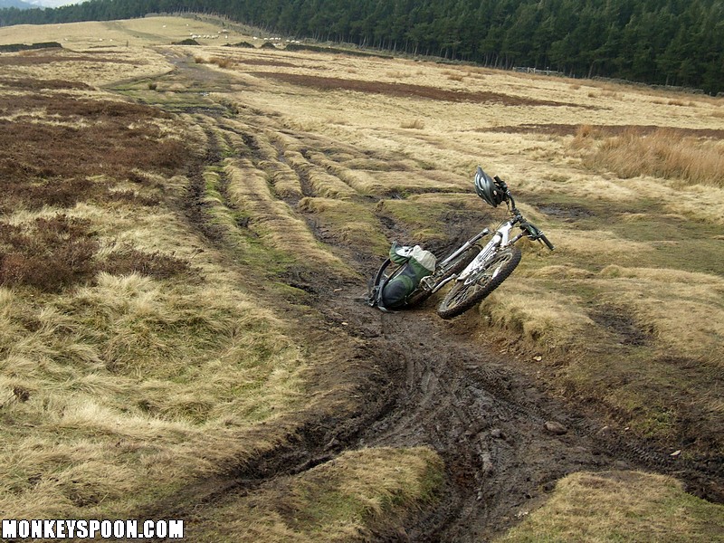
Surface: Dirt, grass, small gritstone pebbles and flat embedded rocks.
Location: - Bing OS Map (Desktop only) - Google Aerial Map
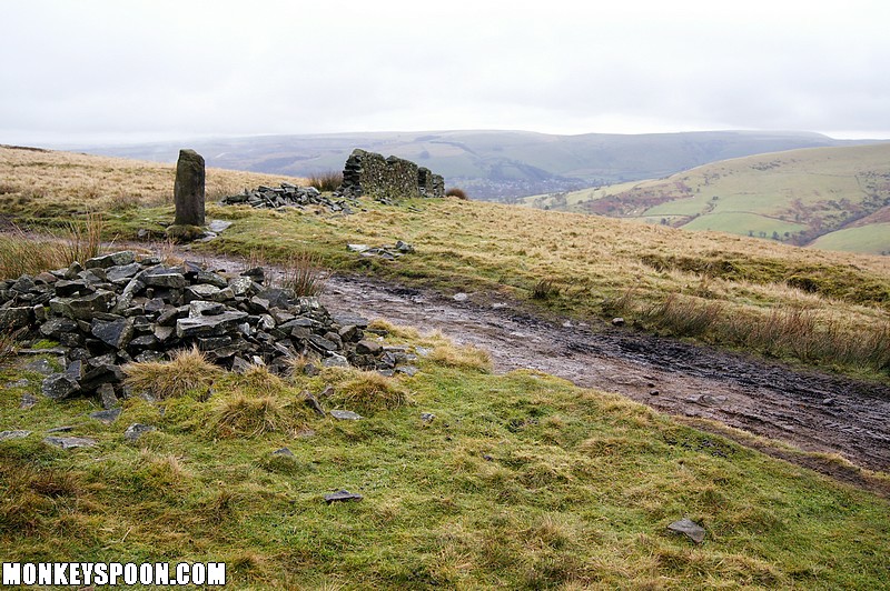
On the current OS map the route of this bridleway is incorrect. The track that everyone uses now stays higher, until the wall that comes down from Wooler Knoll, where it gently slopes, more or less with the contours til it meets the Roman Road bridleway, that heads towards Hope. It joins on at the wall coming down from the ridge just to right of where it says "ROAD" on the map, so the junction is about 200m higher up the track at a wooden gate in the wall.
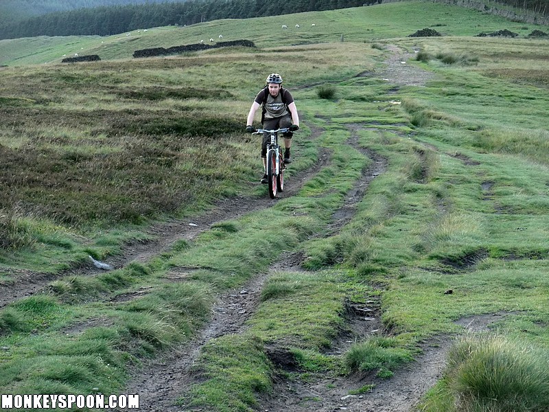
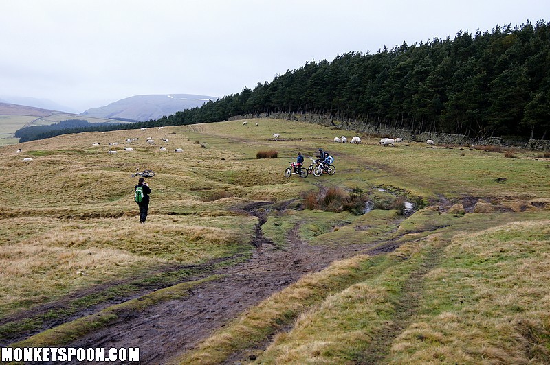
Starting at the top of the Aston bridleway on the ridge at Hope Brink the track heads NW following mainly following the ridge til it joins the top the Brinks Road bridleway.
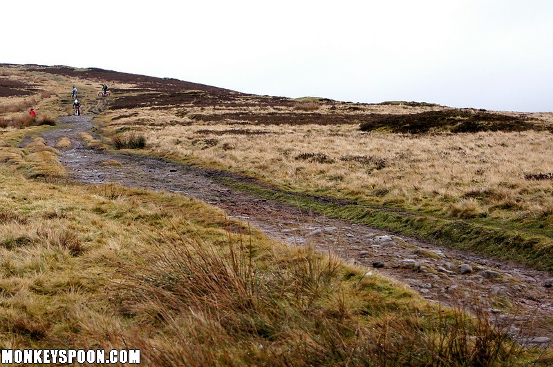
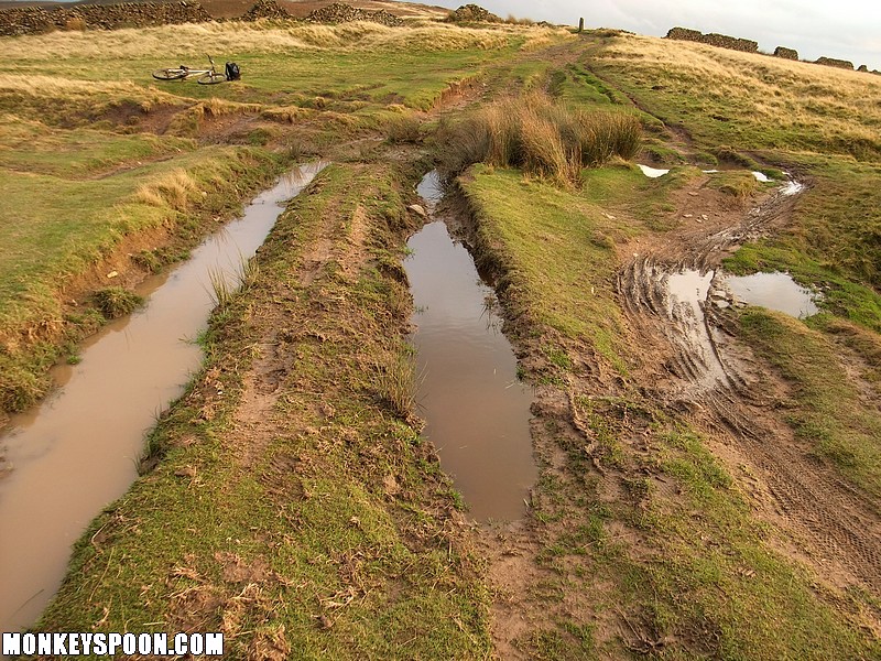
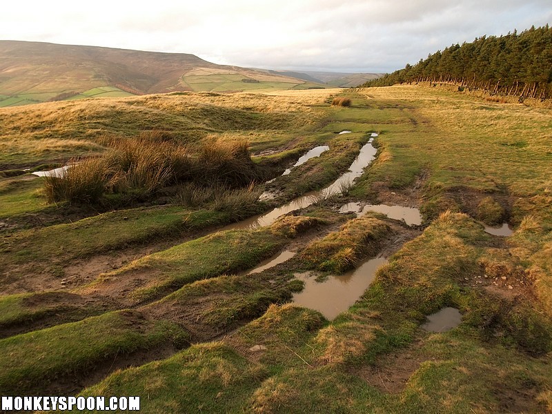
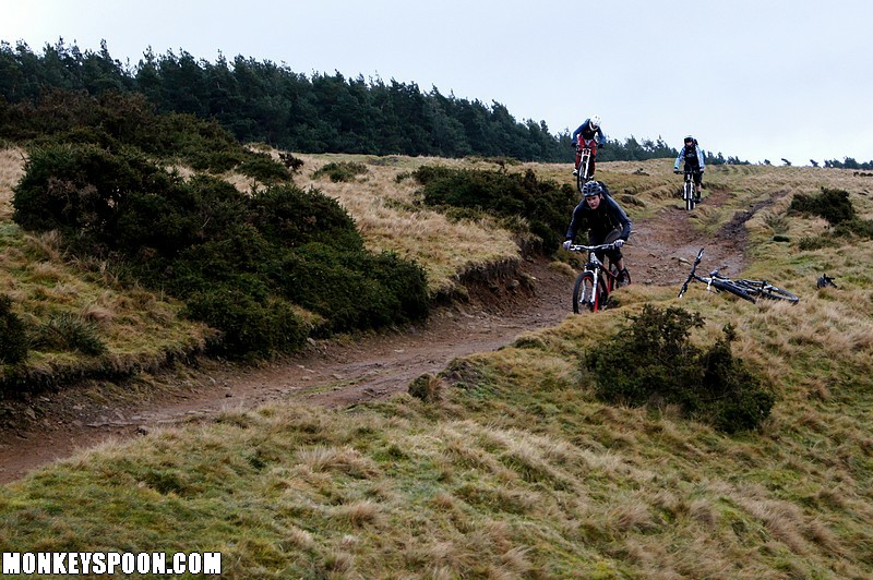
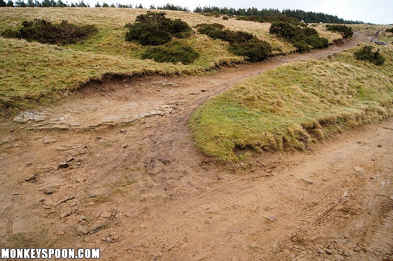
The track starts out quite wide with multiple grassy lines, then converges into a hard pack track dropping to a gulley full of water that crosses the track with a few lines through or round the water. The next straight is wide and flat for 100m (and hard work if it’s windy), then the track descends again with a few gulley lines developing. A small group of puddles start the next hard pack section which weaves close to the wall before the track heads left into a more open grassy section. It becomes very rutted on the left side and the gradient steepens before the ruts converges into a wide short dirt section with bedrock and loose rocks. The track then joins another wide track and ends at a gate in the wall.