Track: Brinks Road
Brinks Road (aka The Roman Road) is a bridleway near Hope in the Peak District, UK. This page is intended to provide information for mountain biking on the track, although some descriptions and images may have become outdated (see image dates).
Rating: Technical / Speed / Fun:  |
|  |
|
Height Descent / Distance: 50m / 1.61km
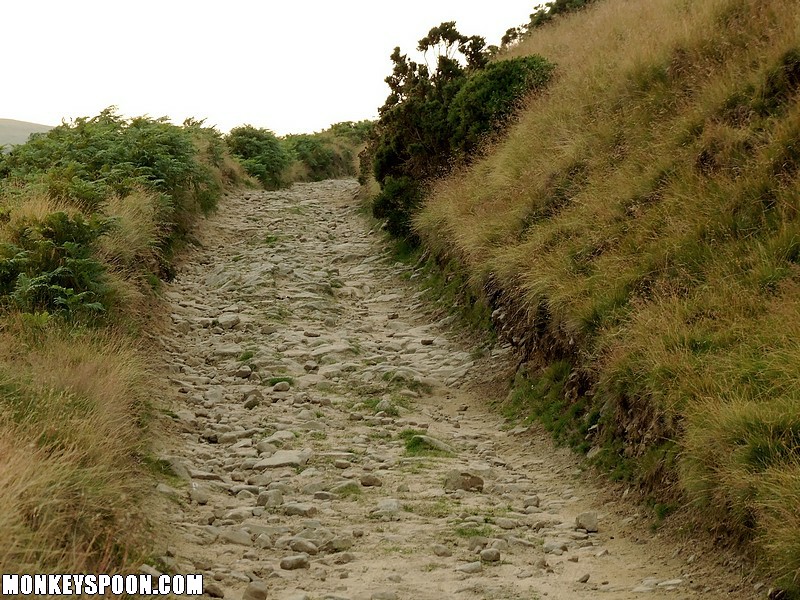
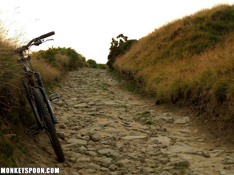
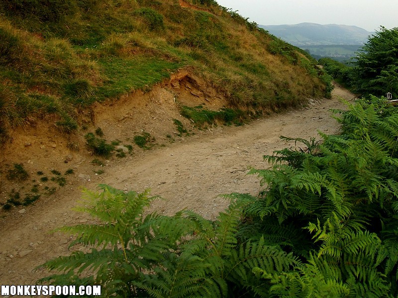
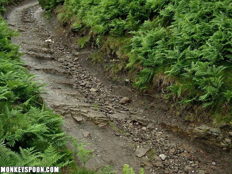
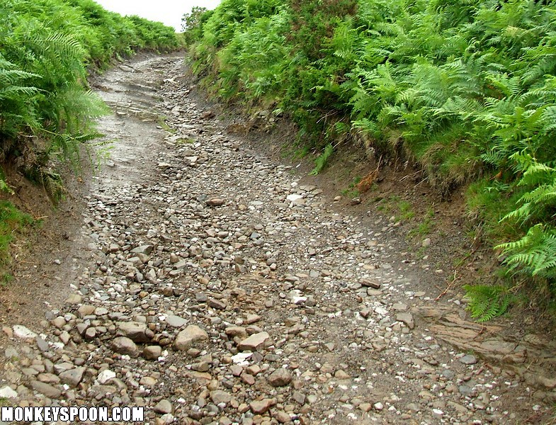
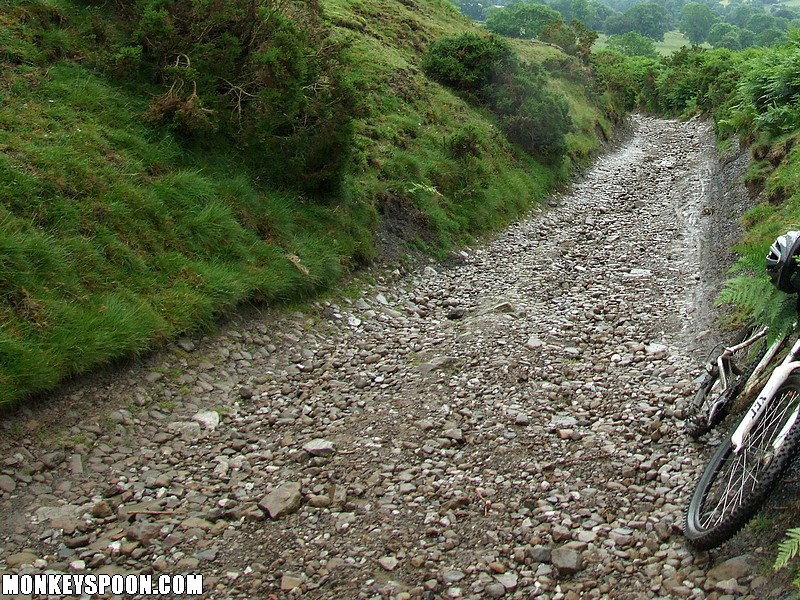
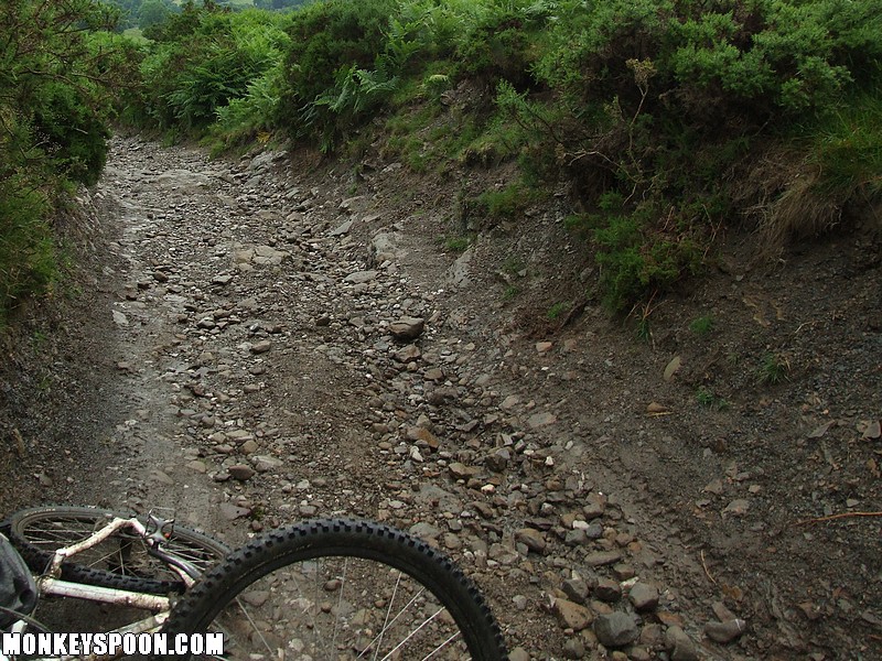
Surface: Gritstone and a bit of shale at the edges in a few places, dirt, loose and embedded rocks and stones, some bedrock, a little sand and silt in places.
Location: SK 169 858 - Bing OS Map (Desktop only) - Google Aerial Map
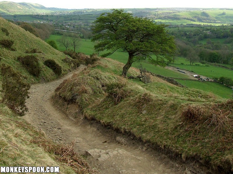
First I'll just say that on the OS map the route of the bridleway coming down from Hope Brink is incorrect. The track that everyone uses now stays higher, until the wall that comes down from Wooler Knoll, where it gently slopes, more or less with the contours 'til it meet the Roman Road, bridleway, that head towards Hope. It joins on at the wall coming down from the ridge just to right of where it says "ROAD" on the map, so the junction is about 200m higher up the track at a wooden gate in the wall.
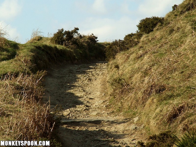
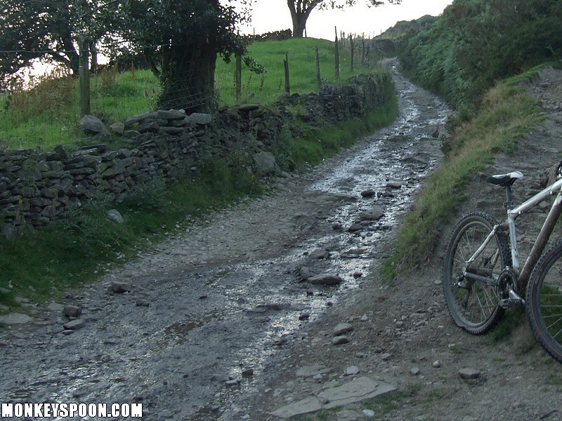
So this is the 'real-world' location of the Y junction between the bridleways is the start of the this track, it gentle descends before meeting a footpath at the gate, this is the end of the rough track, and so we consider that the finish. After that its tarmac down to Townhead Bridge, where it joins the B road between Hope and Edale.
Brinks Road is also known to some as the Roman Road from Hope. The track is not very steep, but quite fast and rough enough to be a worthy challenge. Its fun, but the small up hill and flat sections reduces the fun if your just after full on downhill.
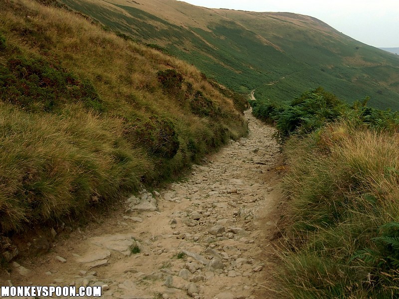
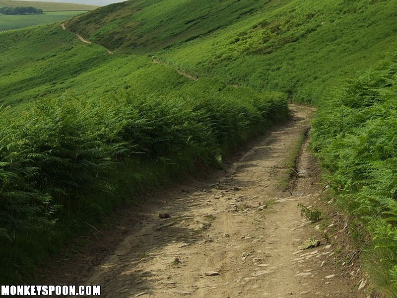
From where the track leaves the bridleway junction on the ridge it gently slopes down following the contours. This upper section of the track has many rocks that are mainly embedded in the sandy dirt. It’s bumpy but there’s enough gradient to carry momentum. There’s a flat sandy section then the track bends to the right before a very short climb, its not too hard and makes the track a bit more challenging stamina wise. It then flattens out as it bends back left following the curve of the hillside. Next it starts to slope down a bit more, from here on its there’s reasonable gradient, with more things to watch out for. There are a few small drops to get some air off and there are a loose rocks in places, the corners are gentle and slightly bermed on the higher outside lines allowing you to carry speed. There are some bed rock sections that slope down but not really enough to get much air off. Towards the end there is a lot of loose small rocks and a few larger ones. The track finishes as it comes to a metal gate, where the footpath comes down from the left. After the gate it turns to smooth tarmac and gently slopes for a while before a right hand corner where it gets steeper with a few bends, watch out for traffic as this road is used for access to the farm.
Be cautious as the track flattens out at the end of the single track road as it exits directly onto a B road, but looks like a continuation of the single track road.