


Track: Hollins Cross – Greenlands
Hollins Cross - Greenlands is a bridleway near Edale, Castleton in the Peak District, UK. This page is intended to provide information for mountain biking on the track, although some descriptions and images may have become outdated (see image dates).
Rating: Technical / Speed / Fun:  |
|  |
| 
Height Descent / Distance: 80m / 1.05km
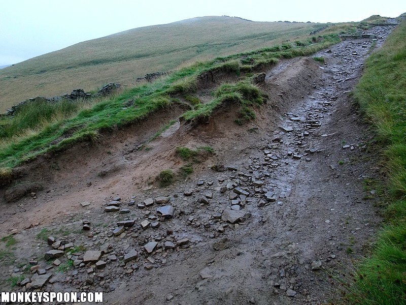
Surface: Mainly grass and dirt with a bit of shale & gritstone in places.
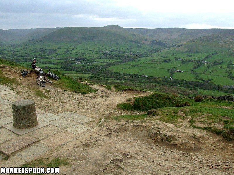
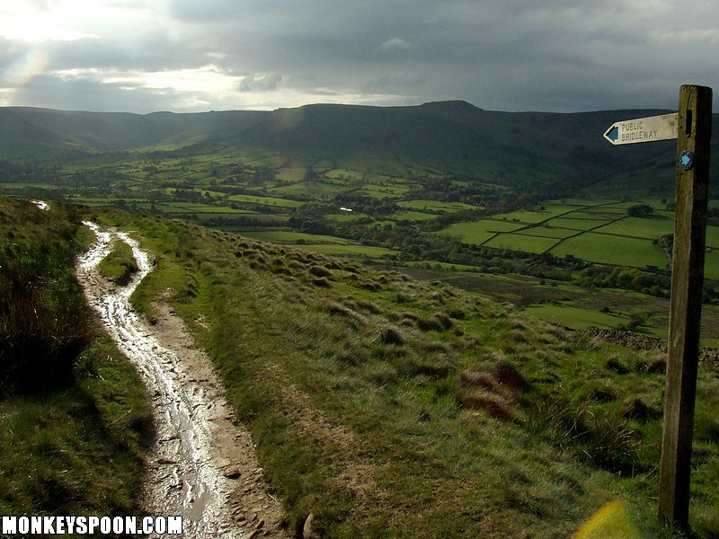
Location: SK 130 846 - Bing OS Map (Desktop only) - Google Aerial Map
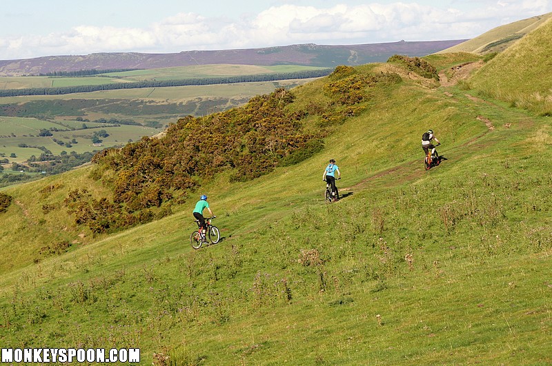
Starting from the ridge at Hollins Cross the bridleway heads west, straight towards Greenlands, ending at a junction of the bridleway that comes down from Mam Tor and the lane down to Edale.
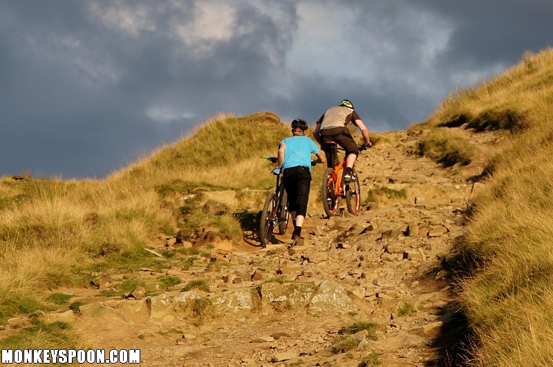
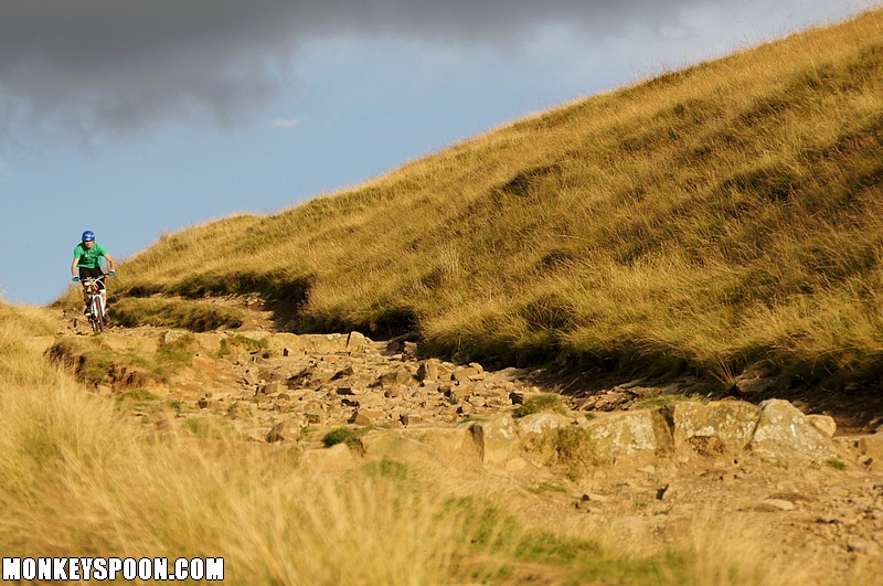
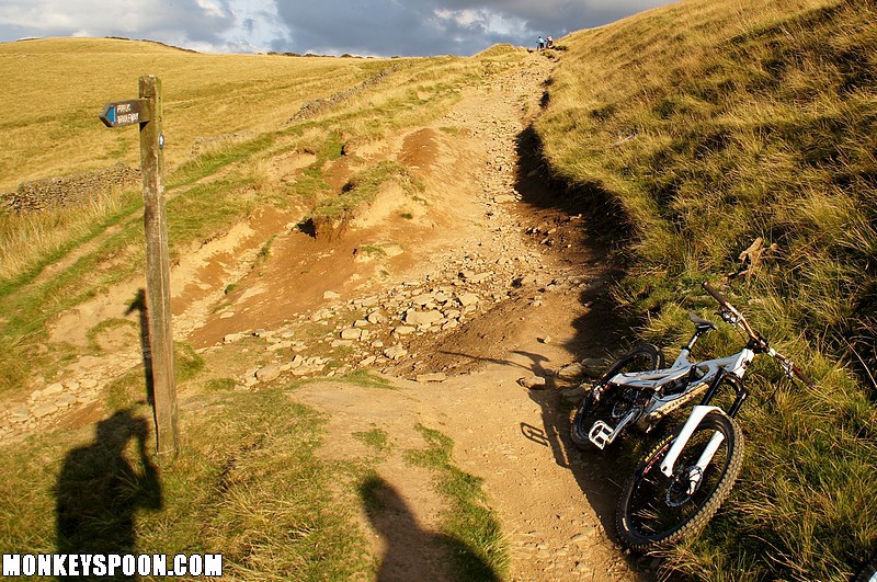
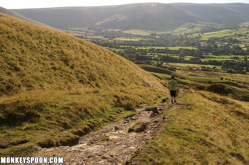
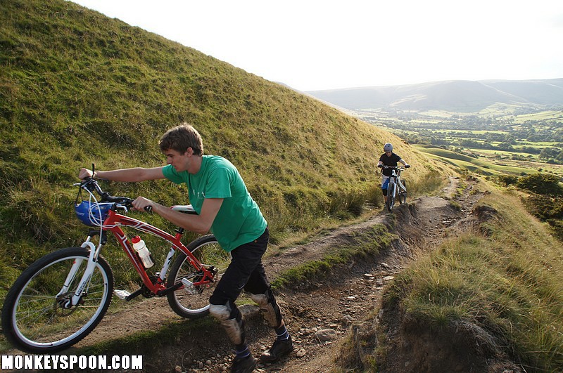
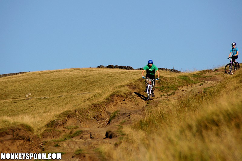
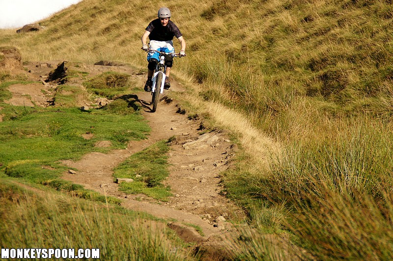
The first 100m from the round stone pillar at Hollins Cross is wide and rocky with lots of loose large stones and some small drops, the largest of which is about a foot. The bridleway continues left as a footpath branches off right, it narrows and flattens out into hard-packed dirt. As the gradient increases to more of a slope you can build up a lot speed but the next section is fairly eroded with small gullies, loose shale rock and weaving lines. There are multiple lines and a few drops. The next section after the tree is simpler and ends in a small stream crossing and a gate. After the gate is wide open grassy section across a field (with potential for some small air to keep you entertained). After another gate is a narrow (and often muddy) section through gorse bushes down to a small ford and then a gravel track til it meets the Mam Tor – Greenlands bridleway and a tarmac track down to Edale.

![[Blog]](http://monkeyspoon.com/Pictures/SitePics/PagePic_Blog.jpg) View our blog articles about Hollins Cross - Greenlands...
View our blog articles about Hollins Cross - Greenlands...
