Track: Cave Dale
Cave Dale is a bridleway near Castleton in the Peak District, UK. This page is intended to provide information for mountain biking on the track, although some descriptions and images may have become outdated (see image dates).
Rating: Technical / Speed / Fun: 

Height Descent / Distance: 220m / 2.3km
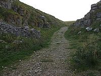
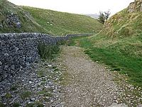
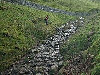
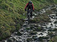
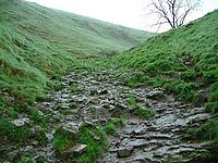
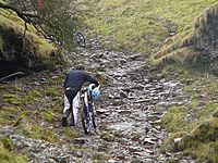
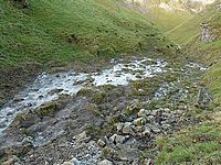
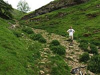
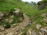
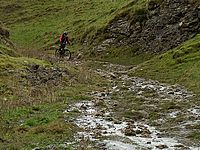
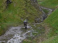
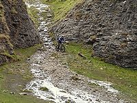
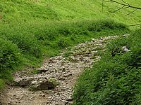
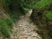
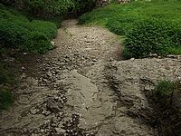
Surface: Limestone bedrock, pointy sticking up embedded rocks, loose rocks from pebbles to football-sized boulders. Always wet and slippy. Very Technical. Generally 1.5m wide, multiple lines choices in places.
Location: SK 148 824 - Bing OS Map (Desktop only) - Google Aerial Map
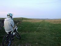
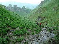
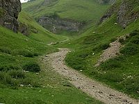
It starts at 422m about 2km south west of Castleton at a cross roads on the Limestone Way. You can either push up about 1km to the top of the main section (where the wall is and it flattens out) or come in along the long flat top section. The track descends into Cave Dale and exits between close rocks into the back of Castleton, watch out for mindless tourists walking in the road.
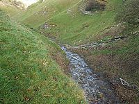
Cave Dale was originally a cave and the roof fell in, like most caves it was created by flowing water so its no surprise to find a stream running down the track in Cave Dale virtually all year round. The wet limestone is very slippery and the top section of track is particularly steep. It has a lot of pointed uneven rocks up the top and big loose rock on the lower sections. Its a technical challenge to stay in control and keep moving.
![[Video Link]](http://monkeyspoon.com/Pictures/SitePics/PagePic_Video.jpg) Video of riding the middle section of Cave Dale in 2007. 0:00-0:52 & 4:02-4:13
Video of riding the middle section of Cave Dale in 2007. 0:00-0:52 & 4:02-4:13
![[Video Link]](http://monkeyspoon.com/Pictures/SitePics/PagePic_Video.jpg) Video of riding Cave Dale in 2007, from 1:15 - 2:20.
Video of riding Cave Dale in 2007, from 1:15 - 2:20.


