


Monkeyspoon.com
Mountain Biking in the Peak District
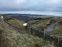
Welcome to Monkeyspoon.com, a website and blog about mountain biking in the Peak District, UK. It offers information on local tracks & trails, maps & routes, pictures and videos.
Established in 2005, Monkeyspoon is run by a group of mountain bikers based in the Hope Valley, North Derbyshire. For more information about the site see the About page or Contact us.
Established in 2005, Monkeyspoon is run by a group of mountain bikers based in the Hope Valley, North Derbyshire. For more information about the site see the About page or Contact us.


Is Lady Cannings open? - Video
In the spring we visited the reopened Blue Steel trail at Lady Cannings Plantation near Sheffield and shot this short video of ...

Mountain Biking in the Peak District 2013-2016 Video
A recap video of our riding in the Peak District over the last 4 years. More info on the bridleways ridden in ...

Climbing Hope Cross on eBikes
Now Monkeyspoon.com is 11 years old and it's main riders are around 30, the unthinkable has happened: we've started riding uphill, and ...
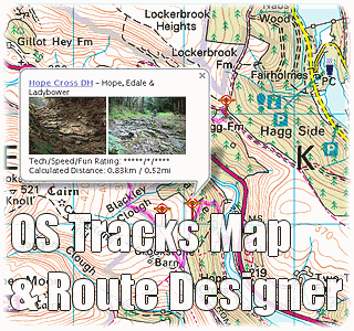
Popular Tracks & Trails in the Peak District:


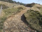
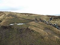
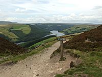
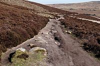
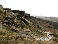
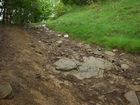
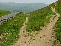
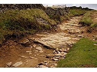
For all our tracks, as well as local mountain biking information, see the Tracks Page.


